The State Institution "Scientific Centre for Aerospace Research of the Earth of the Institute of Geological Sciences of the National Academy of Sciences of Ukraine" (CASRE IGS NAS of Ukraine) was established as an independent legal entity in 1992 in accordance with the Resolution of the Presidium of the Academy of Sciences of Ukraine dated 05/20/1992 No. 150 on the basis of the Kyiv Scientific - Research Institute of Cosmoaeromethods and subdivisions of the Institute of Geological Sciences of the Academy of Sciences of Ukraine. There are about 70 employees in the Centre, among them 2 corresponding members of the National Academy of Sciences of Ukraine, 8 doctors, 17 candidates of science and 5 doctors of philosophy.
The CASRE is organized into four scientific departments and two laboratories: Energy and mass exchange in geosystems department, Geoinformation technologies in remote sensing of the Earth department (the department includes Remote sensing instrumentation laboratory), Aerospace research in geology and geoecology department, Geospatial modeling in aerospace research department (the department includes Remote sensing data processing methods laboratory)
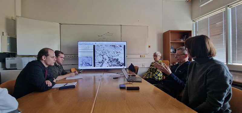
An academic council operates at the Centre. From December 23, 2022, the specialized academic council for the defense of doctoral and candidate theses began its work.
The main objectives of the Centre
Fundamental and applied scientific research of relevant areas of Earth research using remote methods with the aim of obtaining new scientific knowledge and using it to achieve the practical goals of the Centre's activities:
- Improvement of theoretical and methodological foundations of aerospace environmental monitoring, creation and research of physical and mathematical models of generation, reflection and scattering of electromagnetic radiation by terrestrial formations (vegetation, soil, water) and anthropogenic objects;
- Development of methods and technologies for aerospace monitoring of the ecological state of the natural environment, remote solving of natural resource tasks, as well as dual purpose tasks, monitoring of global changes in the geosphere (mineral exploration, climate changes, state and changes of forests, desertification, etc.);
- Development of methods and technologies of aerospace agriculture monitoring with assessment of the state of crops and crop yield forecasting, and remote monitoring of renewable natural resources (soil, forests, reservoirs);
- Substantiation of requirements for technical means of remote sensing of the Earth, development of methods for calibrating onboard sensors and validating satellite data and technologies;
- Creation of a national regulatory framework for remote sensing of the Earth with the harmonization of its relevant international norms and standards.
- International cooperation in research on remote sensing of the Earth with the aim of attracting advanced foreign experience, equipment and technologies for the needs of the economy and environmental protection in Ukraine.